Spot Illustrations


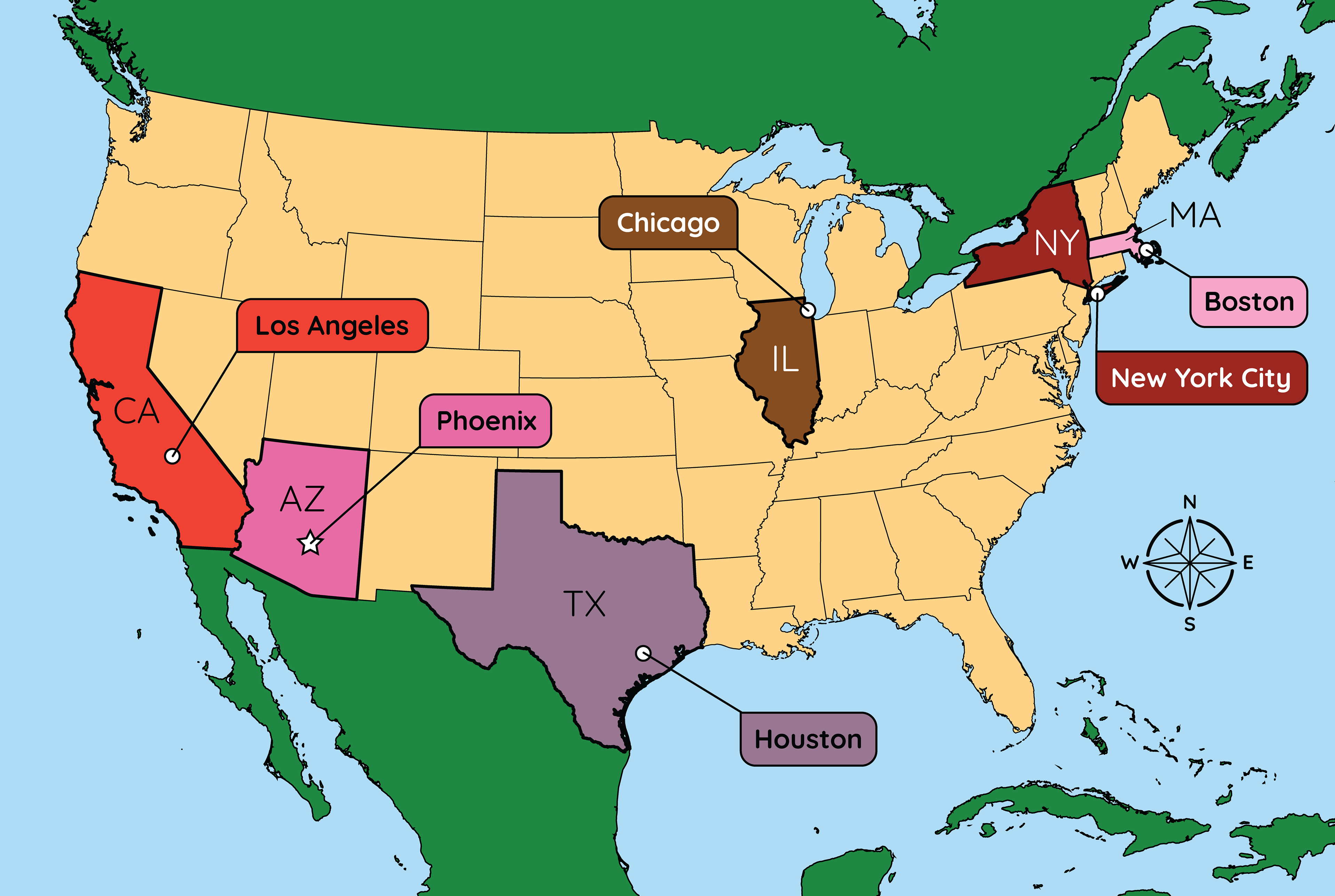
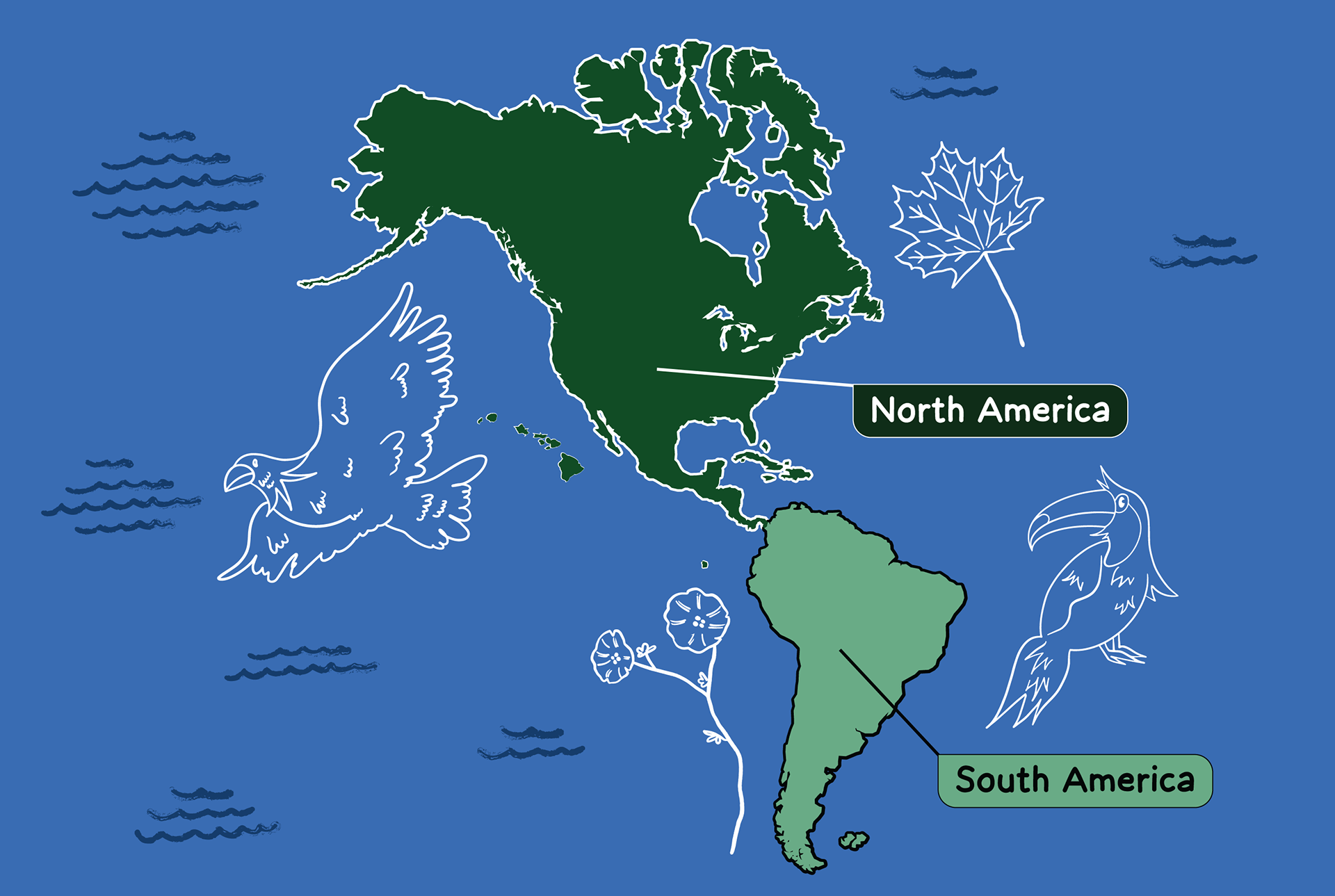
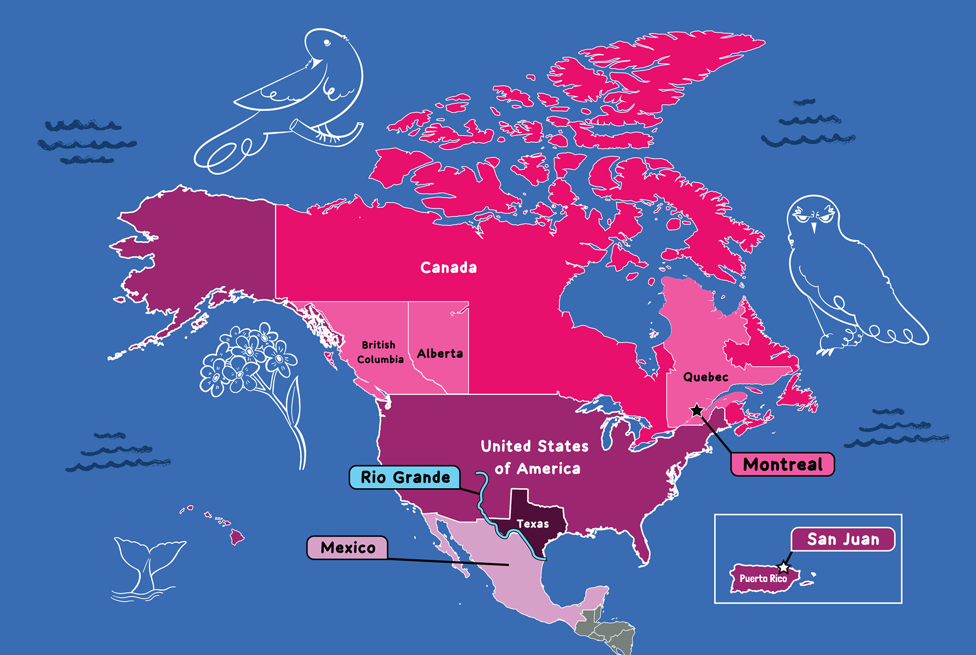
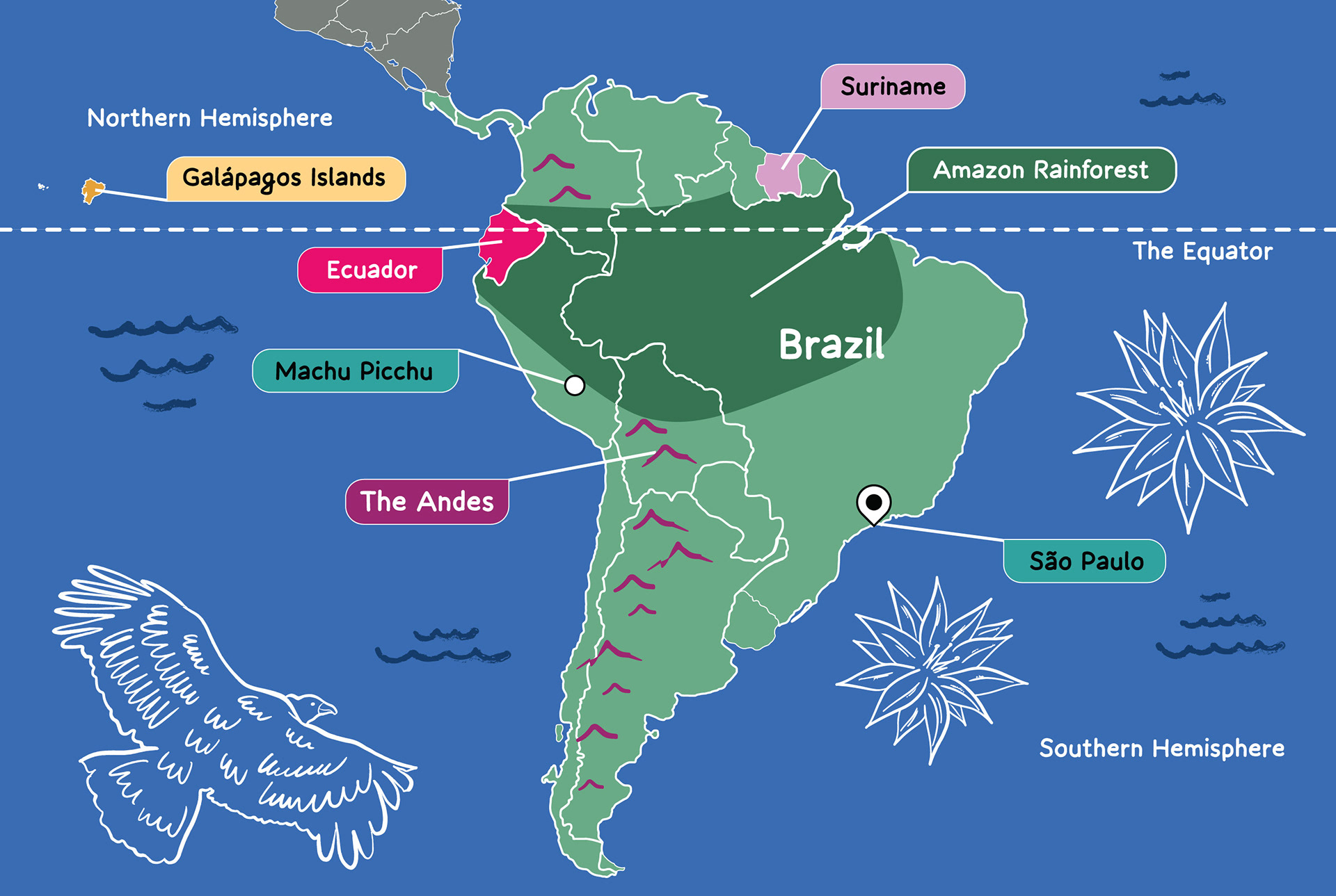
Maps With Spot Illustrations
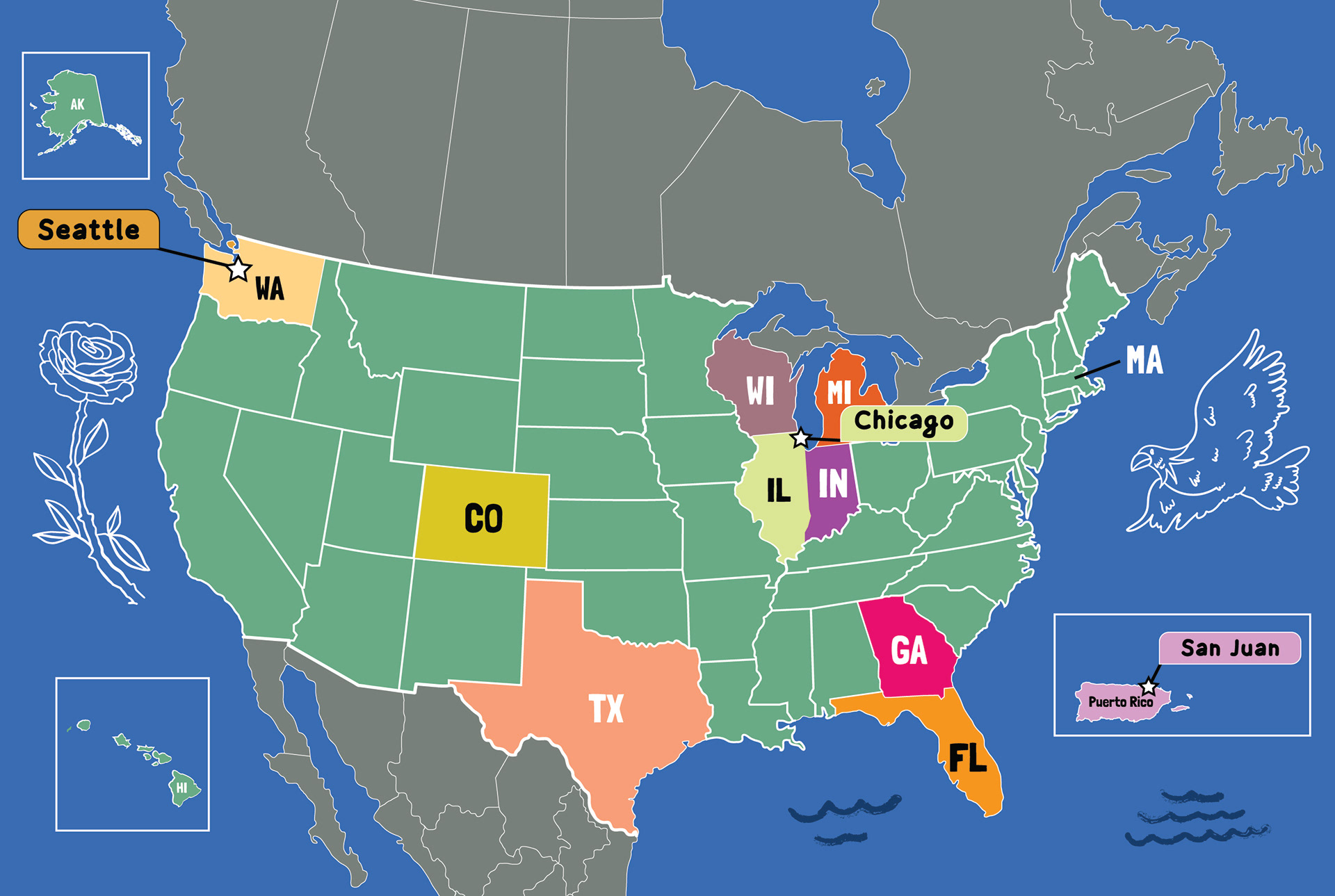
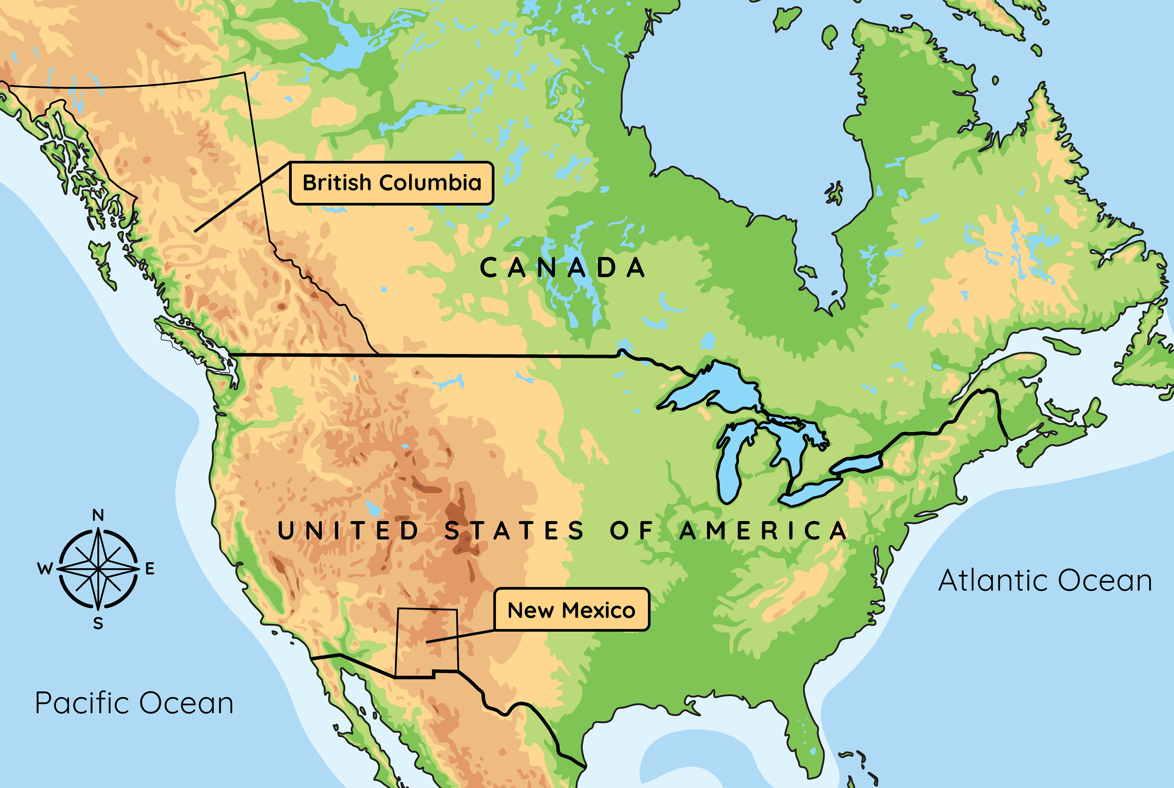
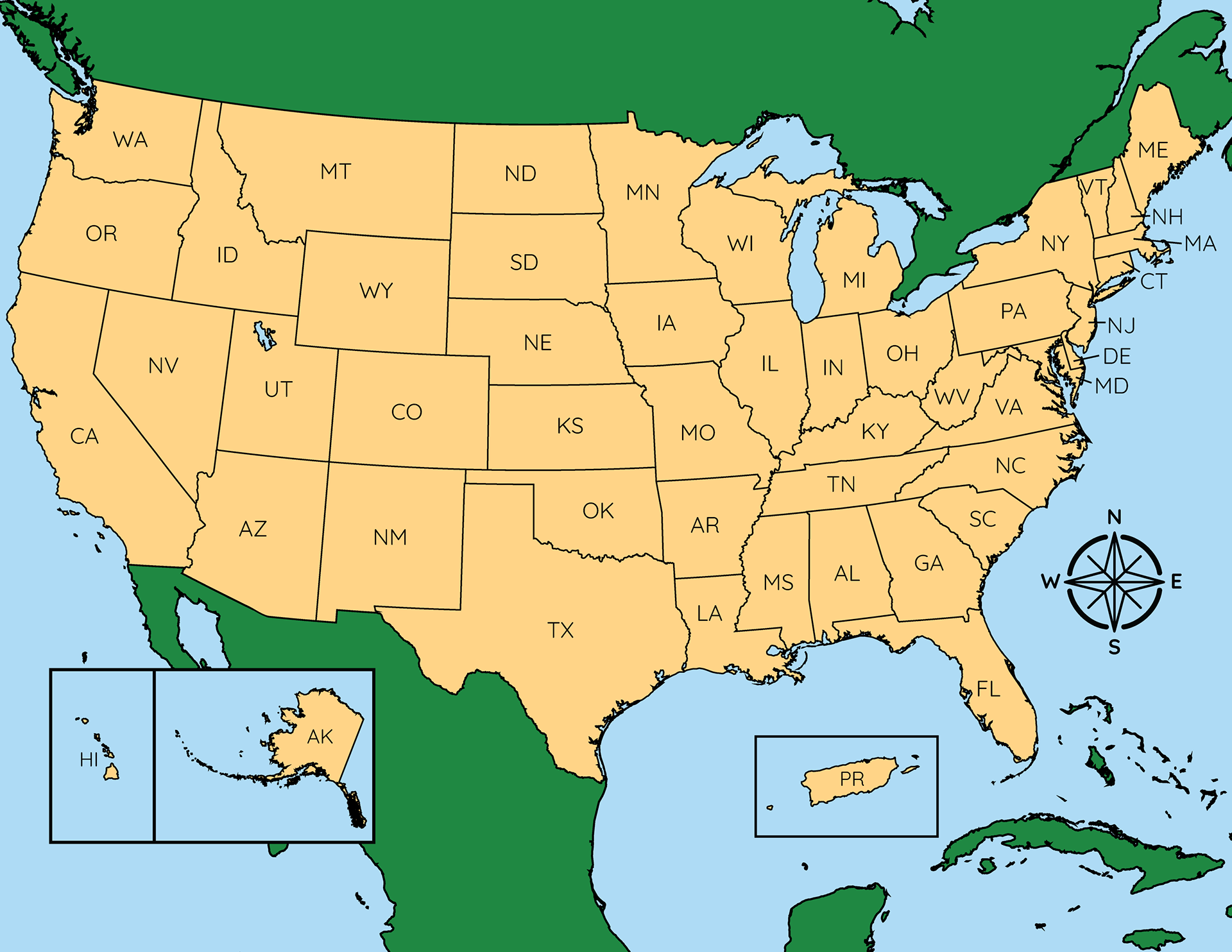


Maps


For Amplify Education’s geography unit, I created a series of detailed maps and spot illustrations designed to enhance both the visual appeal and clarity of the educational content. Each illustration was carefully crafted to support student understanding, making complex geographic concepts more accessible and engaging. The visuals played a key role in enriching the learning experience by combining accuracy with a style that was both informative and visually inviting.